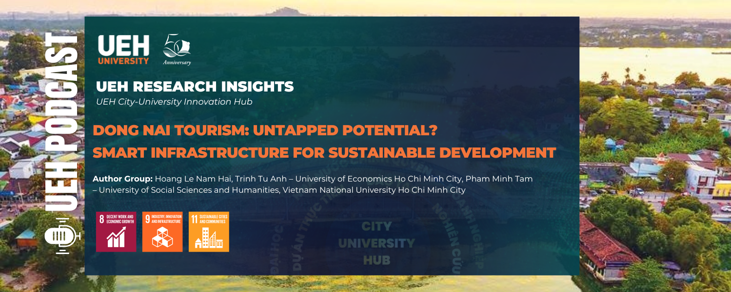
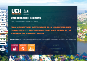
[Research Contribution] Dong Nai Tourism: Untapped Potential? Smart Infrastructure for Sustainable Development
23 April, 2026
Keywords: sustainable tourism, transportation infrastructure, accessibility, Urban Network Analysis (UNA), Dong Nai, regional development, public policy
After merging with Binh Phuoc, the new Dong Nai possesses one of the most diverse tourism resource systems in Southeast Vietnam. However, a quantitative study using the Urban Network Analysis (UNA) method by authors from the University of Economics Ho Chi Minh City (UEH) and their collaborators shows that tourism development is being “pulled off balance” by infrastructure disparities, with resource-rich areas in the north still remaining outside the main tourism flow. The issue is no longer about potential, but about connectivity – the ability to turn potential into sustainable economic value.
Development context: Great potential but clear spatial differentiation
In the context of spatial development restructuring after the merger, Dong Nai has emerged as a new growth pole in Southeast Vietnam, with advantages from a wide range of tourism resources. From large-scale forest-lake ecosystems and revolutionary cultural-historical heritage to the new momentum from Long Thanh International Airport, the locality is oriented toward becoming a diverse tourism hub combining ecological, resort, urban, and MICE tourism.
However, actual development reveals a clear spatial divide. Tourism activities are currently concentrated mainly in the southern area, where connectivity to Ho Chi Minh City and major infrastructure corridors is more favorable. Meanwhile, the northern areas – where much of the indigenous ecological and cultural resources are located – have yet to attract a proportionate flow of visitors. Destinations such as Bu Gia Map, Ba Ra Mountain – Thac Mo, Soc Bom Bo, and Ta Thiet, despite their rich value, have not yet developed clear market appeal, resulting in short stays and low spending.
Research approach: Measuring accessibility through data
To explain the causes of this differentiation, the study uses Urban Network Analysis (UNA) to measure accessibility between tourist source points and tourism destinations. Instead of qualitative assessment, this approach allows for precise quantification of the role of transportation infrastructure in shaping tourism flows.
The research data were compiled from multiple sources, including the OpenStreetMap road network, the General Statistics Office’s population grid, and the planned tourism point system. Based on this, the model calculates accessibility at two common travel thresholds: 30 km (about 45 minutes) and 100 km (about 2 hours), corresponding to short-day travel and day-trip tourism. At the same time, centrality analysis is used to identify corridors and junctions that regulate visitor flows.
This approach aligns with international research trends, with many recent studies emphasizing the role of data and quantitative models in optimizing infrastructure investment and ensuring sustainable development.
Research findings: “Growth triangle” structure and accessibility sink areas
The analysis reveals strong differentiation in Dong Nai’s tourism spatial structure. A “growth triangle” has formed in the southern area, including Long Thanh, Bien Hoa – the Dong Nai River corridor, and the Tri An Lake area. These areas achieve very high accessibility indices, above 0.89 within a 100 km radius, thanks to direct connections with expressways, ring roads, and the airport system.
The favorable infrastructure has helped these areas attract most visitor flows and form dynamic tourism clusters. However, the challenge here is no longer accessibility, but development quality – including the risk of infrastructure overload and the shortage of distinctive tourism products such as nightlife tourism or high-quality waterway tourism.
On the other hand, intermediate areas such as Tan Phu – Dinh Quan only achieve moderate accessibility due to reliance on mid-level roads and a lack of continuous connecting corridors. Most notably, the northern areas such as Binh Long – Loc Ninh and Bu Gia Map – Phuoc Long show accessibility indices below 0.22. This low level reflects infrastructure isolation, preventing tourism resources from effectively connecting with the main visitor source.
The results show an important reality: tourism potential can only be tapped when placed within an effective connectivity system. Without suitable infrastructure, resource values will continue to remain dormant.
Infrastructure development solutions for sustainable potential exploitation
To transform “untapped potential” into a real growth driver, the study proposes an integrated solution system in which transportation infrastructure plays a foundational role, connecting ecological corridors, optimizing the destination network structure, and ensuring sustainable development criteria based on specific quantitative indicators.
Prioritizing upgrades of low-accessibility corridors
The findings show clear disruption in the northern area, where the accessibility coefficient is at a critical level (<0.22), reflecting serious limitations in spatial connectivity. To address this, it is necessary to prioritize the synchronized upgrading of national roads linking the Binh Long – Loc Ninh – Bu Gia Map – Phuoc Long cluster, thereby improving connectivity among ecological regions. In particular, the formation of an East-West cross-connectivity route (Dong Xoai – Tan Phu – Xuan Loc) is identified as a strategic “arterial” corridor that helps break the isolation of forest and agricultural landscape clusters. Beyond improving travel speed, this corridor also opens up opportunities to develop “landscape heritage” routes, where tourism experiences are continuously integrated between natural and indigenous cultural elements.
Developing multimodal infrastructure and optimizing nodes
Based on the analysis of high-centrality nodes (>0.89) in regions 1, 2, and 3, the study proposes an infrastructure orientation toward multimodality to effectively exploit strategic transit points. Specifically, inland waterway transport should be invested in through the construction of boating docks and high-quality cruise routes on the Dong Nai River as well as Tri An and Can Don lakes, thereby forming a distinctive “river tourism” product. In parallel, organizing dedicated bus routes connecting control centers such as Bien Hoa and Dong Xoai to ecological destinations will help reduce pressure from private vehicles while also improving interregional accessibility in a sustainable direction.
Integrating future infrastructure and developing a destination network
The proposed model provides a foundation for effectively integrating large-scale national infrastructure projects in the future. When Long Thanh Airport becomes fully operational, synchronized connectivity with the Metro, urban railway lines, Ring Roads 3 and 4, and the North-South Expressway will be a decisive factor. This integration enables a shift in development thinking from a single-destination model to a network structure, in which transport corridors regulate and distribute international visitor flows from the aviation gateway to northern ecological clusters. As a result, destinations are not only physically connected but also form a multi-stop experiential ecosystem, contributing to the overall value of the entire region.
A quantitative framework for sustainable zoning
To ensure feasibility and quality control during development, the study proposes a quantitative framework for sustainable zoning. Accordingly, key zones should maintain an accessibility coefficient greater than 0.6 within a 100 km radius, while also reaching a destination density (POI) of more than 5 points/km². In addition, the centrality coefficient should exceed the median to ensure effective distribution of tourist flows and avoid local congestion. Integrating neighboring population density (>5,000 people/km²) into planning also creates conditions for a symbiotic relationship between local communities and tourism activities, thereby turning each node into a dynamic and sustainable socio-economic entity.
Conclusion: Infrastructure is the key to unlocking potential
The study confirms that Dong Nai tourism does not lack resources; it lacks the ability to connect resources with the market. In an increasingly competitive destination landscape, infrastructure is no longer a supporting factor but the foundation that determines development capacity.
If invested in based on data and network thinking, Dong Nai can fully become an important ecological – cultural – MICE tourism center in Southeast Vietnam. In that case, growth will not only be about scale, but also ensure sustainability, inclusiveness, and harmony with resource conservation.
The policy question is no longer whether there is potential, but whether today’s investment decisions have sufficient long-term vision to turn that potential into real value in the future.
Authors: Hoang Le Nam Hai, Trinh Tu Anh – The University of Economics Ho Chi Minh City; Pham Minh Tam – University of Social Sciences and Humanities, Vietnam National University Ho Chi Minh City
This article is part of UEH’s research dissemination and applied knowledge series with the message “Research Contribution For All.” UEH respectfully invites readers to look forward to the next issue of UEH Research Insights.

News, photos: UEH Department of Communications and Partnerships


[Research Contribution] Co-innovating for a Sustainable Ocean Economy
12 December, 2025


[Podcast] Recommendations for University education development
14 February, 2025


[Podcast] Developing Vung Tau into a World-Class Tourism City
16 January, 2025


[Podcast] Postdigital Design Strategies for Media Art
6 January, 2025


[Podcast] NFTs – Artistic Innovation or Just a New Hype?
27 December, 2024


[Podcast] Boosting Employee Creativity with Constructive Feedback
23 November, 2024


[Podcast] “Dutch Disease” in Remittances and the Case of Vietnam
4 November, 2024


[Podcast] Latest approaches for sustainable universities
11 July, 2024


Data Law – Part 1: Necessity for a New Approach
18 May, 2024

Advertising Evaluation on Tiktok Platform
14 May, 2024

[Podcast] Advertising Evaluation on Tiktok Platform
13 May, 2024


Promoting Learner Autonomy in English Language Learning (Part 1)
24 November, 2023


ArtTech And Sustainable Development
27 October, 2023

Motivation of EFL Vietnamese Students in Economics-related Majors
12 October, 2023

Climate Change And Our Society: The Urgency Of Gender Inequality
12 October, 2023


People Analytics in Vietnam
10 March, 2022


Revolution in Experimental Economics
30 January, 2022

The Sharing Economy: Governance Issues in Vietnam
24 January, 2022
Employment Policy For Ho Chi Minh City in Post-social distancing Period
28 December, 2021

Lifelong learning at UEH: Towards a Sustainable University
28 December, 2021

Building a Decentralized Stock Market based on Blockchain Technology
24 December, 2021


Consumer price index from big data mining perspective (Big data)
17 November, 2021

Overview Of Digital Currency – Part 5: DIEM Private Stabilized Currency
11 November, 2021